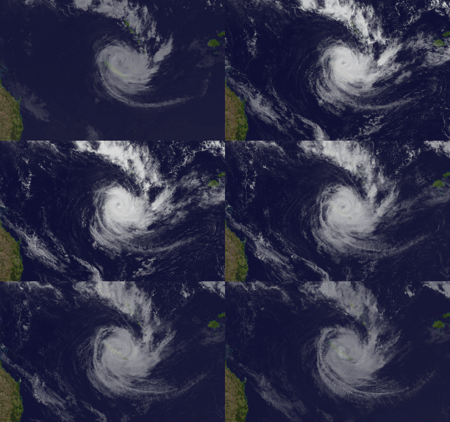
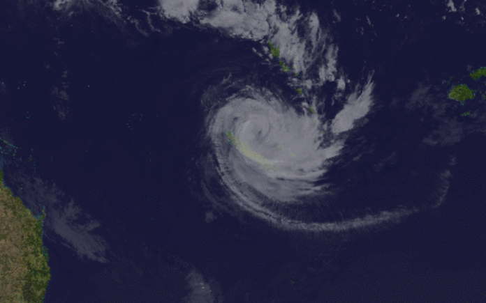
Thunderstorms, winds and a dumping of rain are expected across the country this week, with Cyclone Cook blustering towards the North Island.
Steady rain is falling across the stop of the South Island and brushing Coromandel as both islands prepare for showers and heavy downpours from today through Saturday, with weather warnings in place over the next two days.
In the Bay of Plenty 57 schools and about 80 early learning services have been advised by the Ministry of Education to close today as a precaution ahead of Cyclone Cook.

MetService’s weather warnings include heavy rain expected in the north and west of the South Island and Otago last night and early this morning.
The rain is forecast to spread to the North Island today to continue into tomorrow and possibly Friday.
Rainfall accumulations could exceed 200mm over Bay of Plenty and Taupo over 48 hours from midday today.
The expected lashings of rain is unwelcome news for Bay of Plenty residents, where many locals of the flooded town of Edgecumbe remain unable to return to their homes.
Others living in rural areas are still cut off.
Yesterday afternoon a state of emergency was declared for the Bay of Plenty.
It follows the state of emergency declared by the Whakatane District Council last Thursday.
Clinton Naude, group controller for Bay of Plenty civil defence management group, said they would be tracking the cyclone.
Naude said they had learned from last week’s weather bomb and were more prepared to pass on advice to residents.
He encouraged residents to self-evacuate if they felt uncomfortable or noticed the river rising.
Naude suggested residents subscribe to the civil defence alert service.
Alongside that, if there was an emergency, the fire station alarm would continuously sound alongside emergency service vehicles.
Yesterday morning Social Development Minister Anne Tolley and Primary Industries Minister Nathan Guy classified Bay of Plenty damage as a “medium-scale adverse event”, meaning additional recovery assistance was available.
Measures available included recovery co-ordination, increased support through Enhanced Task Force Green teams and Bay of Plenty Rural Support Trust, as well as tax flexibility.
Extra financial assistance was also available in the form of civil defence payments.
More than 500 applications have been received so far, most requests for personal items like clothing, bedding and food.
Trustpower said it was continuing to lower the lake level at the Matahina Dam, in line with Bay of Plenty Regional Council’s guidance.
The council has set 71.6m as a target for the lake’s level, to be achieved by 8am today.
Meanwhile, the last four homes without power in Kawakawa Bay now have their lights back on – although it’s not a permanent fix.
This week’s weather:
• Whangarei: Showers with heavy falls and thunderstorms, the wet weather continuing into Friday and Saturday.
• Auckland: Heavy falls and thunderstorms, with periods of rain on Thursday. A few showers with northeasterlies on Friday and into the weekend.
• Wellington: Occasional rain, chance heavy afternoon. Occasional rain for Thursday, and showers for Friday and Saturday.
• Christchurch: Periods of light rain with a possibility of heavy falls clearing in the afternoon. Thursday is looking cloudy with light rain falls. Friday is forecast for drizzle with showers on Saturday.
• Dunedin: Today has the potential for some heavy falls, there’s brisk, gusty easterlies. Rain eases on Thursday and Friday, with showers on Saturday.
-NewstalkZB


