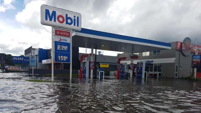
Nearly 20,000 Aucklanders living in eight harbor-edge communities face a future flood risk under projected sea level rises due to climate change, according to a new report.
More than 2,500 buildings would also be at risk along the eight coastal strips under scenarios modeled by researchers at Auckland Council, which declared a climate emergency in June.
The low-lying areas at the greatest likelihood of flooding include suburbs along Tamaki Drive and the downtown waterfront, Bucklands Beach, Orewa, Onewa, Takapuna and Devonport in the north, and Onehunga-Otahuhu and Mount Wellington in the south.
Most of the scenarios are based on one-in-100 year storm surges, combined with a one-meter rise in sea levels which is forecast to occur by 2100, the end of this century.
The council is at pains to point out that the data is not new, but combining data the way they have is a first step in trying to pinpoint the local impacts of sea-level rise.
The new interim report uses a methodology that is still evolving, to assess what would be hit under various sea-level rise scenarios, but more groundwork is needed, for example, on whether buildings that are considered affected, really are.
“You’ve got things that go up very localized slopes, or floor levels – even if a building looks like it’s in a flood plain – maybe it’s not at risk,” said Sarah Sinclair, the chief engineer.
Locations such as Tamaki Drive are already well-known as flood-prone during storm surges, and between Orakei and St Heliers, the area around Kohimarama would experience the biggest inundation.


